Tucson to Midland
We decided to start our journey home with 2 long driving days. After that we will do some sightseeing on route.
 W
W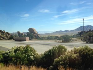 e started by retracing our path to Las Cruces and then carried on to Texas. One thing that struck us during this part of the trip was that there are many large farms near the highway, with hundreds of cows. We think these are dairy farms, both because the animals are the classic black and white and because they are mostly corralled and eating from troughs. The countryside looks very dry to be supporting a dairy industry, although east of Tucson there is less cactus and more scrubby bushes.
We drove back through Las Cruces and continued on to the outskirts of El Paso, jut past the Texas border.Our KOA campground was simply a parking lot behind the Camping World. I stopped by the Camping World to get a map we can stick on the camper to trace our route. Otherwise, the location was remote and had no amenities although it did have a good view of the mountains.
A very fierce wind stormed up in the evening. The camper rocked at each gust and we were very glad to be off the road. In fact, had we still been on the highway, we would have had to stop because the camper would be uncontrollable with these types of gusts.
Fortunately the wind died down by morning and we got off to an early start. The highway goes right through El Paso, which is large and sprawling. Many roads cross the highway. Most of the bridge supports are quite ornate with facing in adobe colored red plaster and turquoise bands, along with embossed designs including Texas stars and geometric designs in desert colors. We also saw these fancy bridges (in similar colors) in New Mexico.
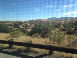
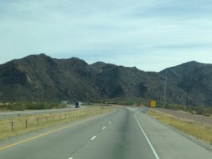
 The scenery around El Paso is dry and mountainous. Because there is so little vegetation, the mountains, although not high, appear stark. El Paso itself is in a mini-Badlands, with gullies and jagged hills.
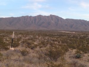
 East of El Paso the terrain is flatter, although some considerable mountains. are still visible in the distance. The highway speed here is 80 mph – undoubtedly a boon to truckers, but far higher than we are comfortable with.
Once we passed Pecos we entered oil country. There is nothing but flat scrubby fields with oil wells and tanks as far as the eye can see. We were surprised to see a few gas flares – we through that any natural gas was now being captured.
There are also a lot of old fashioned wind pumps of the type on exhibit at the Zuhl Museum, pumping up water for the cattle.
The rest stop near Monahans has an exhibit on the nearby Rattlesnake Airforce Training facility. During WWII, this facility trained the pilots who flew the B17 and B29 flying fortresses. These planes flew missions in Germany and Japan and were redeployed during the Korean War. However, the Russian MIGs, which were designed specifically to bring down these planes, finally put them out of service. The Base was named after the thousands of rattlesnake nests, some housing more than 1000 snakes, that were disturbed in building it. The site was considered extremely remote. However, the discovery of oil in the area has now added a lot of population and industry.
We decided to stop in Midland TX, which was the right driving distance for the day and has some sightseeing attractions. After a full day of driving, we made it only about 1/2 way across Texas, which has certainly impressed upon us just how big the state is.